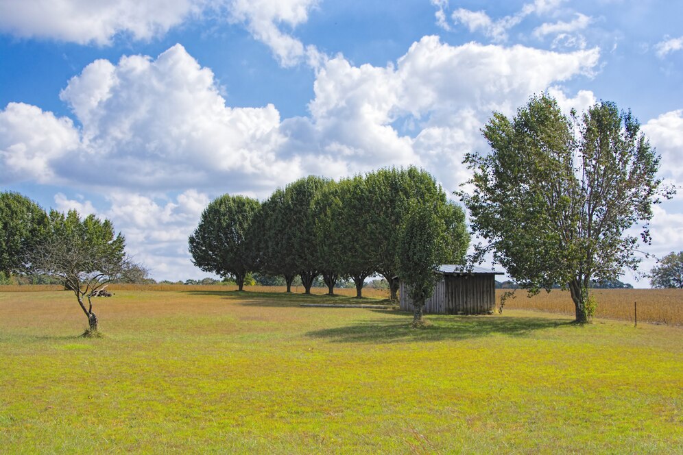
Land surveys play a critical role in property transactions, construction, and boundary verification across North Carolina. Whether you own land in the mountains of Asheville or the coastal plains near Wilmington, understanding the costs and processes of land surveys can save you time and money. This guide explores the timeline, types of surveys, and how to interpret measurements while emphasizing what property owners in North Carolina should know.
1. How Long Does a Land Survey Take in North Carolina?
 The time required for a land survey depends on various factors such as the size of the property, terrain, and survey complexity. On average:
- Small residential lots: 1-2 days.
- Large rural tracts: 1-2 weeks.
- Complex or disputed boundaries: Several weeks or more.
Factors Affecting Survey Timelines
- Topography: Flat or open land is quicker to survey than heavily forested or hilly areas.
- Survey Type: Boundary surveys take less time than comprehensive ALTA or topographic surveys.
- Weather Conditions: Snow, rain, or excessive heat may delay fieldwork.
2. What Are the Three Types of Land Surveys?
Selecting the right survey type is vital to meet your specific needs. Here are the most common options:
A. Boundary Surveys
Boundary surveys define property lines and are often required during real estate transactions. These surveys typically cost between $400 and $1,200 in North Carolina.
B. Topographic Surveys
Used for construction or land development projects, topographic surveys map elevation changes and natural features. Costs usually range from $1,000 to $3,000, depending on the property size.
C. ALTA/NSPS Land Title Surveys
These are the most comprehensive surveys, essential for commercial property transactions, and cost anywhere from $2,500 to $5,000 or more.
3. How to Read Land Survey Measurements
Interpreting land survey measurements is crucial for property owners and developers to understand their land’s features and boundaries.
A. Key Components
- Bearings: Indicate direction using angles and compass points.
- Distances: Measure boundary lengths in feet or meters.
- Monuments: Physical markers like stakes or iron rods that define corners or boundaries.
- Easements: Areas designated for utilities or shared access.
B. Common Units
- Feet and Decimal Feet: Standard for measuring property boundaries.
- Degrees, Minutes, Seconds: Used to specify directional bearings.
C. Plat Maps
A plat map visually represents survey results and includes:
- Property dimensions and boundary lines.
- Easements and encroachments.
- Elevation details for relevant surveys.
How Much Does a Land Survey Cost in North Carolina?
The cost of land surveys in North Carolina varies based on several factors:
Property Size
- Residential Lots: $400 to $1,200.
- Large Acreages: $1,500 to $3,500 or more.
Location and Terrain
- Surveys in urban areas like Charlotte or Raleigh may cost more due to demand.
- Properties in mountainous regions may require specialized equipment, increasing costs.
Surveyor Expertise
Highly experienced surveyors with certifications may charge premium rates. However, their accuracy can save money in the long run.
Additional Fees
- Research Costs: $100 to $300 for examining historical deeds.
- Markers and Stakes: $50 to $100 each.
- Specialized Surveys: Additional costs apply for topographic or floodplain analysis.
Frequently Asked Questions (FAQ)
 Q1: Is a land survey required when buying property in North Carolina?
While not mandatory, a land survey is strongly recommended to confirm property boundaries and identify potential encroachments.
Q2: Can I perform a land survey myself?
No, DIY surveys are not legally recognized in North Carolina. Only licensed surveyors can provide certified results.
Q3: What happens if my survey reveals boundary disputes?
Boundary disputes can often be resolved through negotiation or mediation, but legal action may be necessary in some cases.
Q4: How do I find a reliable surveyor in North Carolina?
Look for licensed professionals with local expertise, strong reviews, and transparent pricing.
Q5: What’s the difference between a boundary survey and a topographic survey?
A boundary survey defines property lines, while a topographic survey maps elevation and natural features for development purposes.
Conclusion
Land surveys are an essential tool for property owners, developers, and buyers in North Carolina. From verifying boundaries to facilitating construction projects, a professional survey ensures clarity and prevents disputes. By understanding the types of surveys, how to interpret measurements, and the associated costs, property owners can make informed decisions and protect their investments.
Disclaimer: This article is for informational purposes only and does not constitute legal advice. For specific questions or concerns, consult a licensed attorney or professional land surveyor in North Carolina.